
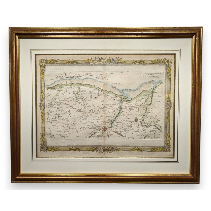

Framed map, ‘Part of Normandy’, by BRION DE LA TOUR (Louis, 1743–1803)
, Paris, Desnos, 1757
. Covers the Caen region, including the coastline to the north of the city. Taken from the “Recueil des Côtes Maritimes de France”
Origin: France
Period: 18th century
Materials: Paper
Dimensions: H 42 x 52 cm
Data sheet
Framed map, ‘Part of Normandy’, by BRION DE LA TOUR (Louis, 1743–1803)
, Paris, Desnos, 1757
. Covers the Caen region, including the coastline to the north of the city. Taken from the “Recueil des Côtes Maritimes de France”
Origin: France
Period: 18th century
Materials: Paper
Dimensions: H 42 x 52 cm