
- On sale!
- -50%
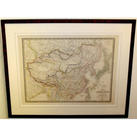


Engraving: “Map of the Chinese Empire and Japan” by ANDRIVEAU-GOUJON
. Map of the Chinese Empire and Japan. Published by J. Andriveau-Goujon, 17 Rue du Bac, Paris, 1847.
Taken from “Classical and Universal Atlas of Ancient and Modern Geography, containing the latest discoveries and divisions across the five parts of the world, to aid in the reading of travel accounts, historical works and the finest treatises on geography.” Published by J. Andriveau-Goujon. Adopted by the Minister of War for regimental libraries. New edition. In Paris, at the Publisher’s, Rue du Bac, no. 21, near the Pont Royal. 1850.
Period: 19th century
Dimensions: H 59 x 72 cm
Data sheet
Engraving: “Map of the Chinese Empire and Japan” by ANDRIVEAU-GOUJON
. Map of the Chinese Empire and Japan. Published by J. Andriveau-Goujon, 17 Rue du Bac, Paris, 1847.
Taken from “Classical and Universal Atlas of Ancient and Modern Geography, containing the latest discoveries and divisions across the five parts of the world, to aid in the reading of travel accounts, historical works and the finest treatises on geography.” Published by J. Andriveau-Goujon. Adopted by the Minister of War for regimental libraries. New edition. In Paris, at the Publisher’s, Rue du Bac, no. 21, near the Pont Royal. 1850.
Period: 19th century
Dimensions: H 59 x 72 cm